Share
A research group from the Hefei Institutes of Physical Science of the Chinese Academy of Sciences has developed a method for accurately mapping paddy rice cultivation
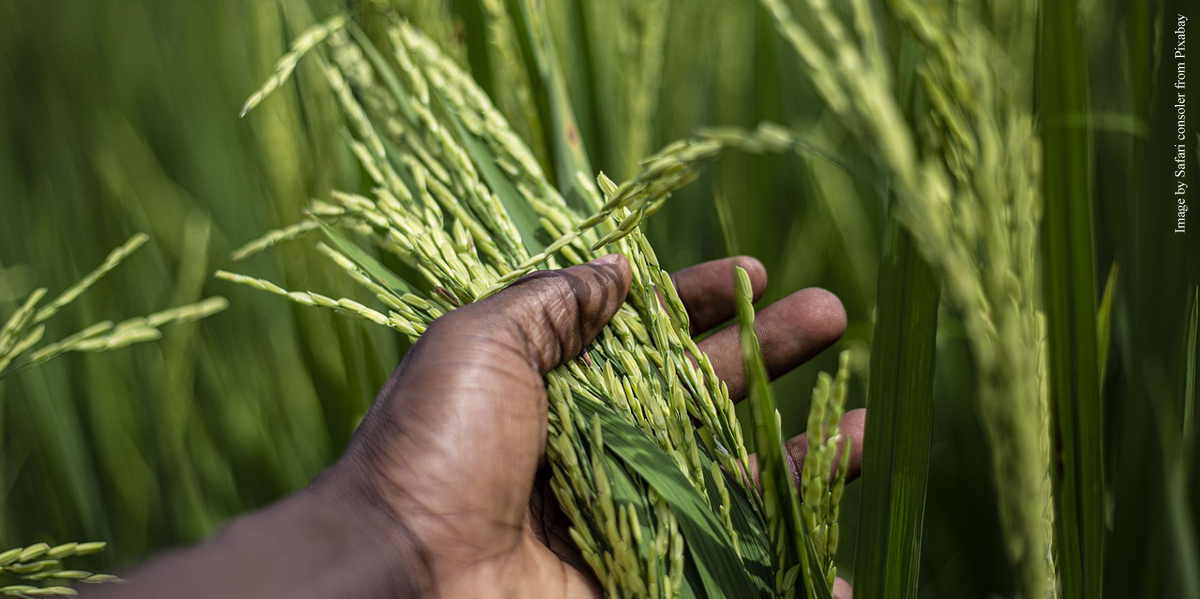
Paddy rice is an important agricultural product, and accurate mapping of paddy rice fields is essential for enhancing food security, promoting sustainable agriculture, increasing crop yields, and facilitating technological advancements.
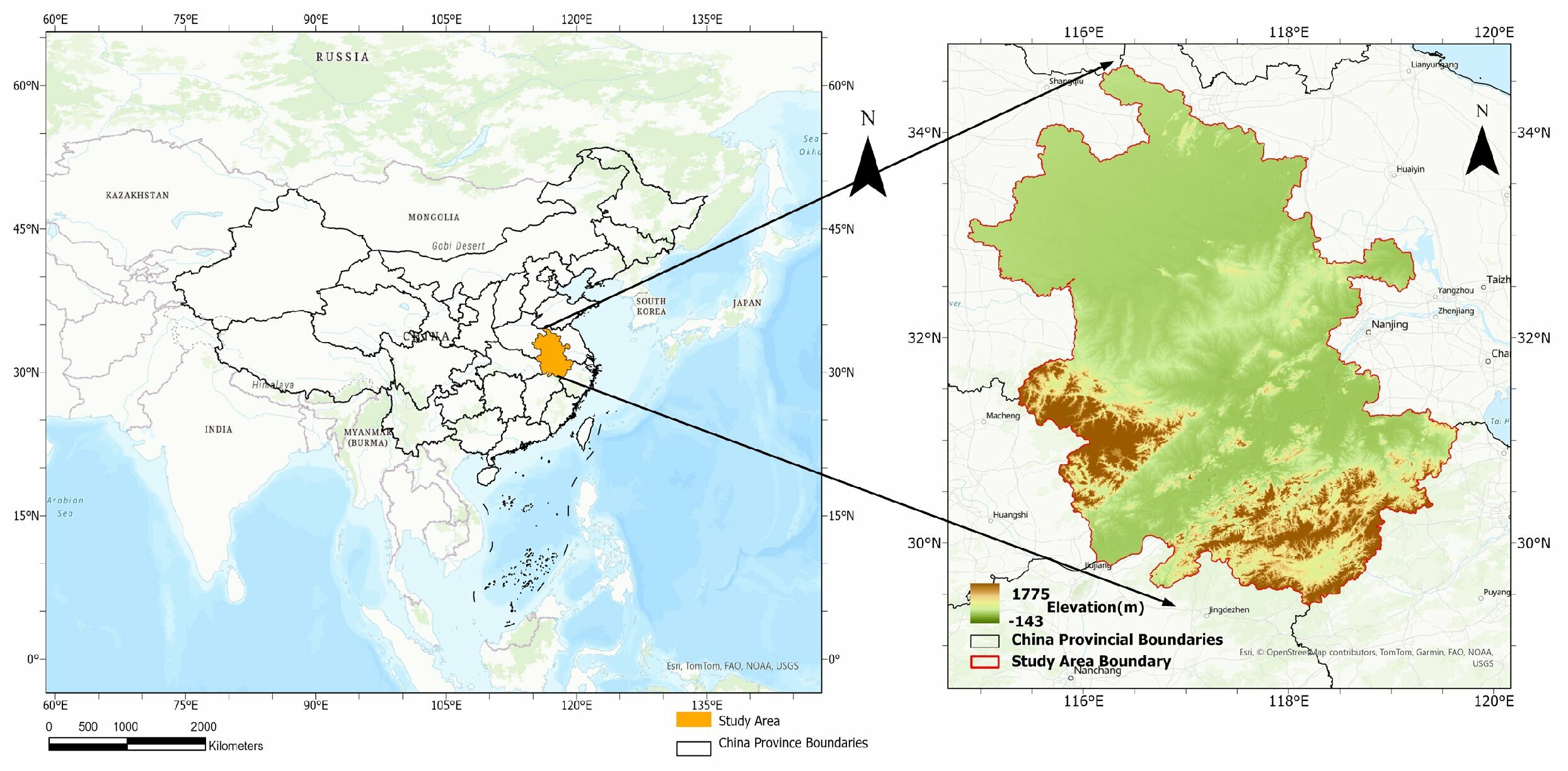
The research group led by Prof. Sun Xiaobing, focussed its work on accurately mapping paddy rice cultivation in Anhui, a province in eastern China. The work is published in the journal Agriculture.
Researchers combined annual phenological features with Sentinel-1/2 imagery, leveraging satellite remote sensing and machine learning to enhance agricultural monitoring.
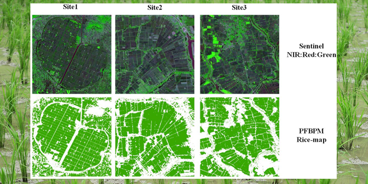
They derived annual phenological variations from verified ground truth data and assigned several vegetation indices to different phenological phases.
This helps them get pixel-level rice planting distribution maps through machine learning.
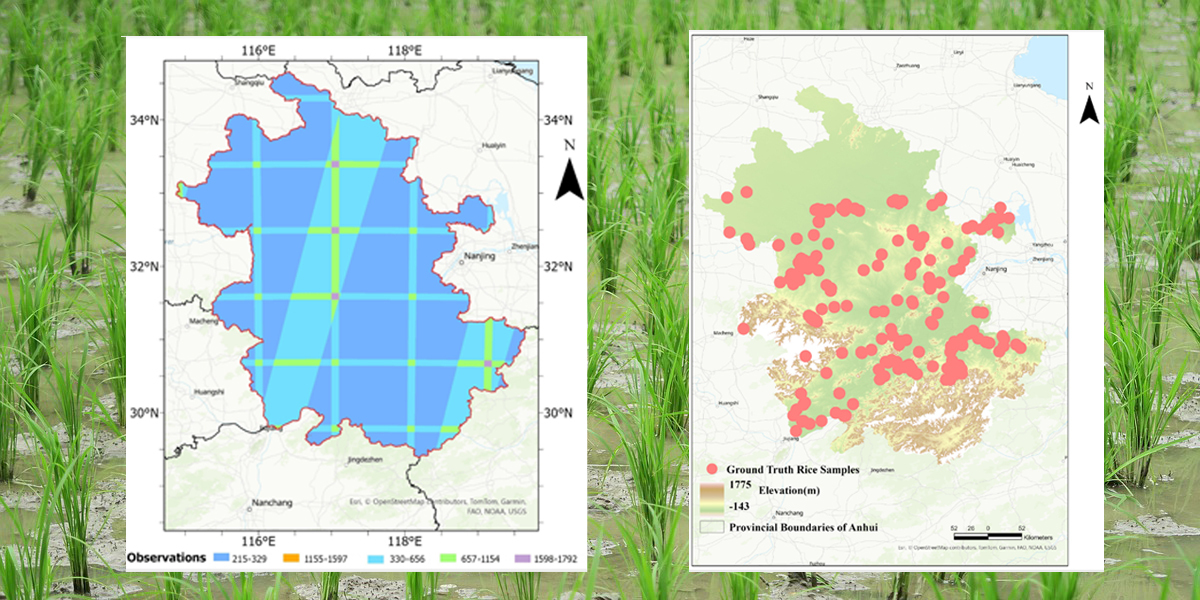
The research team used an automatic sample expansion technique to increase the sample size and stratified different grids within the study area.
Researchers validated the results of this method with a confusion matrix, the Anhui Statistical Yearbook, and other rice mapping algorithms of similar resolutions. The method demonstrated high accuracy in primary grain-producing areas of Anhui with less than 10% of error and showed practical value in agriculture.
Additionally, the sample expansion techniques developed in this study could be adapted for mapping other cash crops of significance.
This study integrates phenological features with optical and Synthetic Aperture Radar data for crop area estimation and will offer practical value for future agricultural planting and yield studies, according to Prof. Sun.
More information: Zeling Wang et al, Improved Paddy Rice Classification Utilizing Sentinel-1/2 Imagery in Anhui China: Phenological Features, Algorithms, Validation and Analysis, Agriculture (2024). DOI: 10.3390/agriculture14081282
Source: Chinese Academy of Sciences
Subscribe to our newsletter
Stay updated on the latest technology, innovation product arrivals and exciting offers to your inbox.
Newsletter