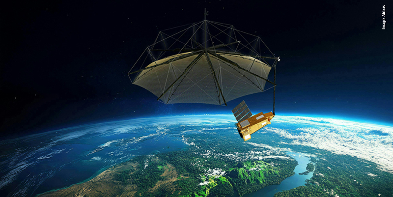
Businesses are always looking to exploit and integrate emerging technologies into their existing workflows to boost efficiency and help solve problems. Many are also starting to realise the power of Geographical Information Systems (GIS). Andy Berry explains why and how
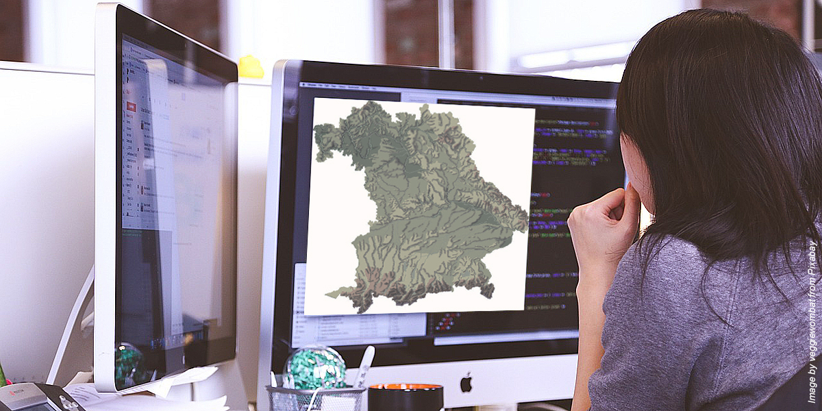
GIS is defined as a spatial system that creates, manages, analyses, and maps all types of location data. This forms a digital map that can store, and present geographic data that can be used to manipulate and analyse this data in a business context. It combines different types of information and forms a digital twin to help people understand and visualise patterns, relationships, and trends in the real world.
GIS applications have evolved to become more accessible and cost-effective, as well as serving a broader range of use cases outside of the industries within which it has been traditionally employed. As modern GIS software becomes more widely adopted, organisations must explore the best ways to take advantage of it and make progress towards digitalization, safety, and business efficiency.
Modelling and testing updates to infrastructure
For businesses with complex infrastructure, it is a significant challenge to assess the impact any updates might have. Businesses need to modernise their infrastructure to ensure that faulty or old systems are phased out, but these can be linked to the rest of the network in ways that are not immediately obvious.
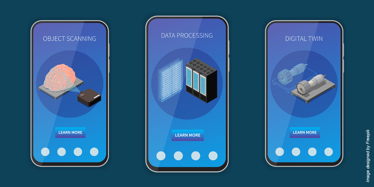
However, GIS technology can be used to create a ‘digital twin’ of the real-world network, with every asset that it contains represented in a geographical data base. This allows organisations to simulate and plan any required maintenance before enacting it. Disruption may be unavoidable in this scenario, but by planning it via a digital twin first, organisations can assess the levels of disruption, and plan accordingly. This can also aid in communicating with customers, as the GIS map will allow the company to see exactly who will be affected by any scheduled work.
Managing assets and supply chains
Modern enterprises are extremely large and sprawling entities, encompassing thousands or even hundreds of thousands of individual assets that need to be catalogued and monitored. This can include equipment, machinery, or infrastructure. This is especially challenging for businesses with a whole host of physical assets to manage across a wide geographical area, with the complexity increasing even more when these assets are difficult to access, like underground wiring or pipework.
For businesses with physical supply chains that involve transporting goods from one site to another, GIS can be a major driver for improving efficiency. Using GIS applications, organisations can analyse transport routes, incorporating data such as traffic conditions and fuel consumption to reduce travel time and increase cost-effectiveness.

GIS can also assist in planning new facilities, such as warehouses, as it gives organisations the power to choose the best locations for them, considering a wide range of geographical data. It also allows for much more accurate tracking of a business's inventory.
Customer service and support
For businesses such as utilities and telecoms, customer service and support are absolutely vital. When service for these types of providers is interrupted, it can mean that customers are cut off from basic necessities. GIS technology helps organisations refine their service and support offerings.

For example, organisations can leverage advanced spatial intelligence to identify service zones and analyse customer proximity to service centres. This allows businesses to recognise if any areas are lacking in access to essential services. GIS can also be used to assign field technicians based on geographic data, improving incident response time.
Sustainability
Most businesses today keep an eye on their environmental impact, whether this is due to governmental regulations or internal sustainability targets. However, without the correct tools, quantifying the environmental impact of a large organisation can be difficult.
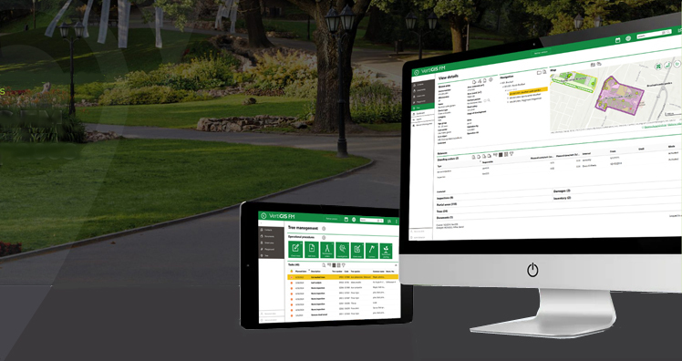
GIS applications are well suited to this task as they can collate data such as air quality and waste management and plot them on a geographical map, making it easier for businesses to recognise areas of environmental impact and work towards reducing it. GIS can also be used to track an organisation’s carbon footprint by analysing emissions and energy use data.
Risk management and crisis response
For businesses that operate in volatile environments, natural disasters pose a real threat to operational infrastructure. While there is little any organisation can do to stop disasters such as flooding, earthquakes, and hurricanes, GIS technology can aid in analysing these risks for both new and existing infrastructure. This can also help businesses create continuity plans, as it can be used to identify alternative sites that are not as high-risk.
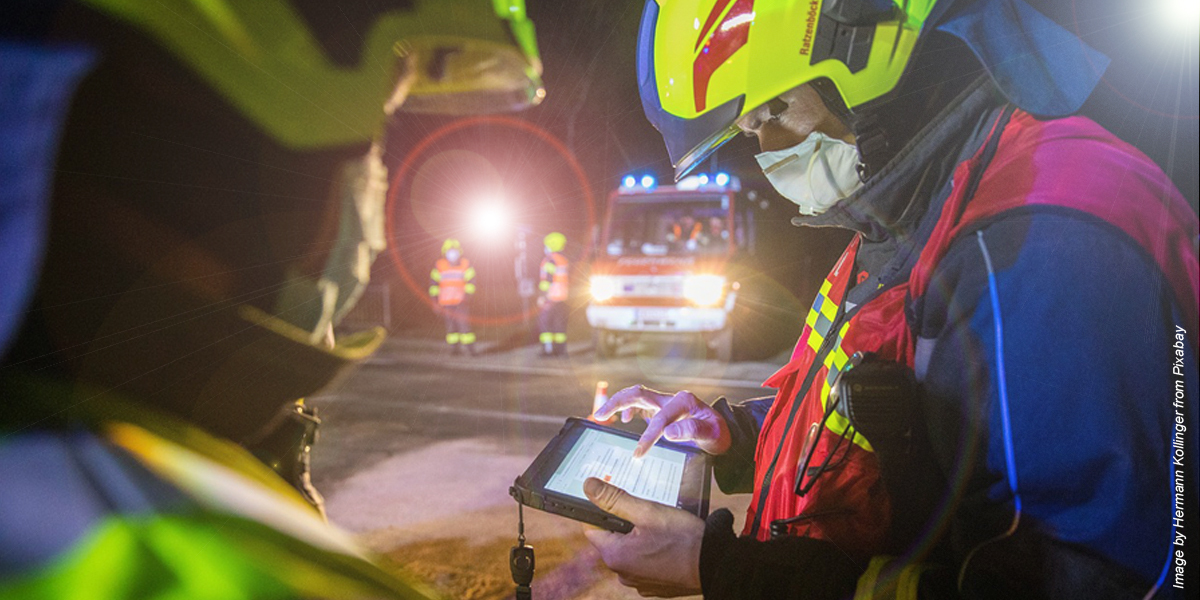
GIS also has utility for crises that are happening in real-time, as these applications can be used to monitor environmental events, map the damage, and help coordinate resources during the response.
When applied in the right way, GIS can be an incredible tool for solving a wide range of issues faced by modern organisations. In the year ahead as businesses look at ways they can improve productivity, reduce costs, and optimise on current environment, GIS solutions are tools in which they should consider investing.
Andy Berry is CEO of VertiGIS, a UK-based provider of Enterprise spatial management solutions, with offices and partners world-wide
Subscribe to our newsletter
Stay updated on the latest technology, innovation product arrivals and exciting offers to your inbox.
Newsletter

