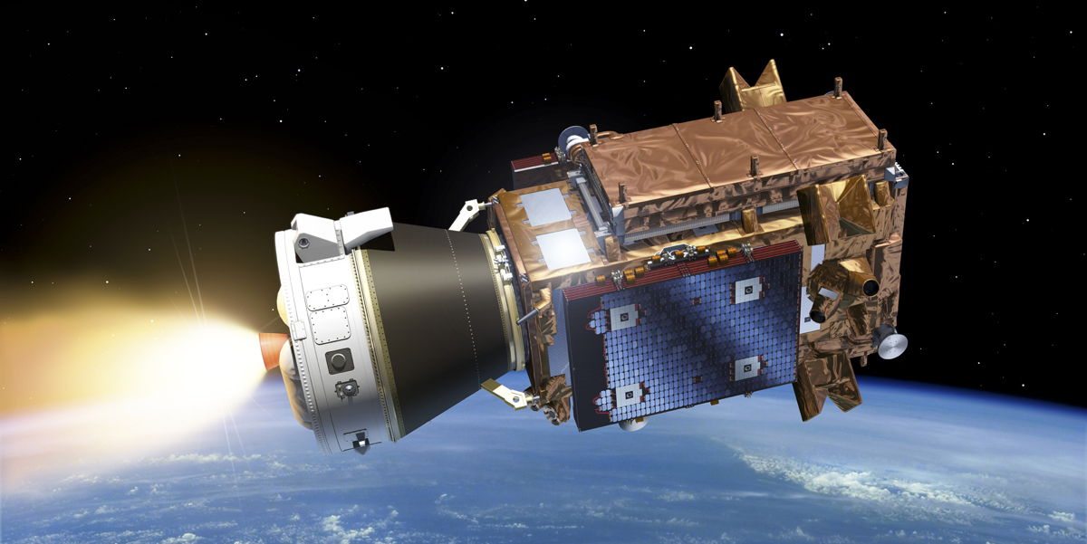
The Sentinel-1C satellite, to be launched on December 4, 2024, will ensure continuous data provision and integrates Galileo for improved navigation, reinforcing the world's leading Earth Observation system
Using a complex system of satellites and sensors, Copernicus – Europe’s Earth Observation programme – collects and provides a wealth of data and information about our planet and its environment.
But there’s a lot of ‘space’ between that data and the applications and services that use it. Bridging that space is the EU Agency for the Space Programme (EUSPA).
“As the European Union’s agency dedicated to space, EUSPA serves as the essential link between space technology and user needs – a role that sees us translating the EU’s investment in space into valuable, reliable services for European citizens and companies,” says EUSPA Executive Director Rodrigo da Costa.
Let’s start with the space technology. For Copernicus, that’s the Sentinel satellites.
The Sentinel-1C satellite is slated for launch on 4 December 2024 from Europe’s Spaceport in Kourou, French Guiana.
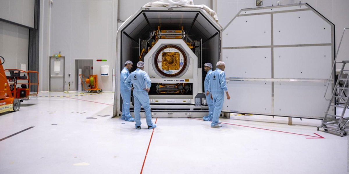
The Copernicus Sentinel-1 radar imaging mission is composed of a constellation of two near polar-orbiting satellites providing continuous all-weather, day and night imagery data for land, emergency management and maritime monitoring. This data, along with data collected by a range of in-situ sensors, is made available – free of charge – to governments, national agencies, institutions, researchers and businesses.
In particular, the translation of this data into value added services and actionable insights is crucial to make Europe safer and more sustainable.
Charged with promoting Copernicus’ services, data and market uptake, EUSPA is actively helping European companies and other users embrace Earth Observation advising on how they can best leverage Copernicus data, information and services to benefit their businesses.
Market intelligence is key for this and the EO GNSS Market report is a very important tool for Copernicus users and applications developers. It also launched several EO-focused funding opportunities, including Horizon Europe calls and innovation competitions as part of the CASSINI Space Entrepreneurship Initiative.
Driving a wide range of applications
Copernicus data is now driving a wide-range of applications, helping with everything from cleaning up oil spills to monitoring sea- and land-ice. For example, users can utilise Sentinel-1 imagery to map sea-ice conditions, distinguishing between dangerous, thick ice and the thinner, more navigable ice. Vessels can then use these maps to safely navigate the increasingly busy Arctic waters.
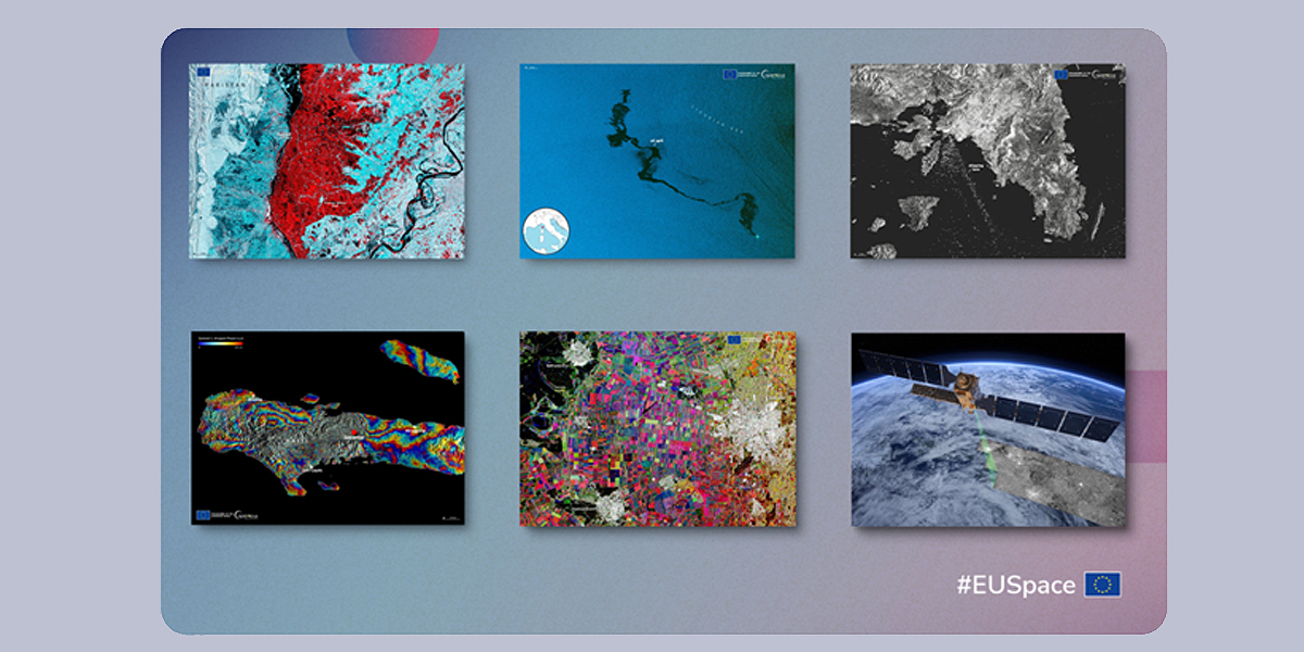
Other important applications driven by Sentinel 1 data worldwide regardless of cloudiness include flood extension analysis and mapping, crops classification, soil moisture, forestry and biomass monitoring as well as the European Ground Motion Service (EGMS) providing valuable insights on subsidence and ground deformation over time.
Galileo now supporting Copernicus ''operations'' in the new Sentinel-1C
All these Copernicus applications and solutions will soon get a boost thanks to the addition of the Sentinel-1C satellite. The new satellite, which will replace the Sentinel-1B satellite, ensures system redundancy and a continuous data provision.
To determine the satellite's location in space, it will rely on its onboard satellite navigation system (GNSS). While the previous receiver was compatible only with GPS, the new one is also compatible with Galileo, the European Global Navigation Satellite System (GNSS). By receiving signals from both constellations, the navigation experience will be more robust and slightly more accurate. Another advantage is that the mission can now operate independently from GPS, increasing European autonomy and resilience in space.
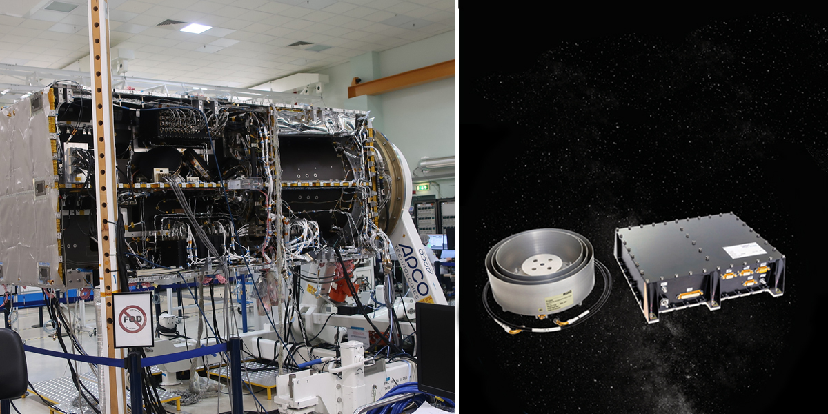
This will also be the opportunity to conduct a demonstration of the Galileo High Accuracy Service (HAS) provided by EUSPA. This test, built also thanks to the involvement of the European Commission and ESA, will showcase the use of precise point positioning (PPP) enabled by Galileo’s E6 band, achieving onboard real-time accuracy of up to 0.2 metres.
The demonstration will use Sentinel-1C’s advanced GNSS receivers and complete multiple orbits during the 6–7-hour test period evaluating the potential of the Galileo High Accuracy Service for Space Based Applications. These results will be considered by EUSPA for the next phases in the evolution of the HAS Service.
“With the launch of Sentinel-1C and the integration of Galileo's advanced navigation capabilities, the continuity in data provision is ensured but also enhanced thanks to the precision and reliability of the European Earth Observation system. This synergy exemplifies the continuous progress and innovation within the EU Space Programme, driving real-world applications that benefit all European citizens," concludes Rodrigo da Costa, EUSPA Executive Director.
You can learn more about the Sentinel mission and upcoming launch here.
Story source: European Agency for the Space Programme (EUSPA)
Subscribe to our newsletter
Stay updated on the latest technology, innovation product arrivals and exciting offers to your inbox.
Newsletter
