
Mapping the Earth's crops with the help of AI can help farmers and policymakers improve planning
29th March 2025
Mapping the Earth's crops with the help of AI can help farmers and policymakers improve planning
29th March 2025
Mapping the Earth's crops with the help of AI can help farmers and policymakers improve planning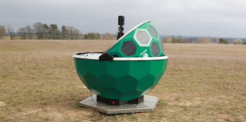
28th March 2025
Dryad Networks demonstrates first fully functional drone prototype for detecting, locating and monitoring wildfires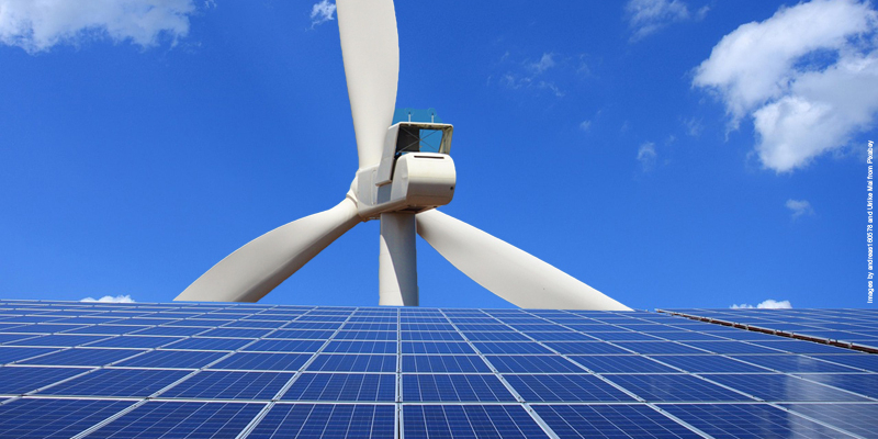
27th March 2025
European power utilities face multiple challenges in 2025 and beyond
22nd March 2025
New data infrastructures for extreme weather analysis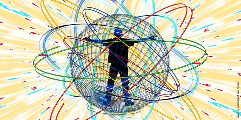
19th March 2025
Quantum navigation could transform how we travel. So what is it, and how does it work?
17th March 2025
Using satellite data to monitor and navigate icy waters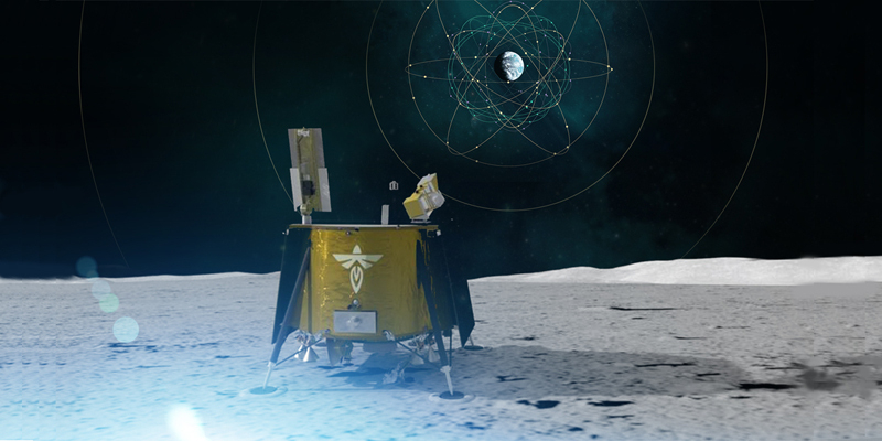
14th March 2025
NASA successfully acquires GPS signals on Moon
7th March 2025
Fifty years of songbird maps take flight in new hands
5th March 2025
Unlocking the secrets of ancient trees with RIEGL Terrestrial LiDAR
25th February 2025
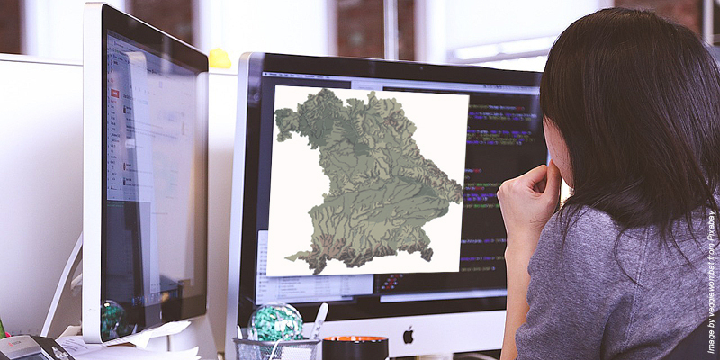
New, greener software model could democratize access to geospatial analysis
22nd February 2025
Microcomb chips show potential for centimeter-level GPS precision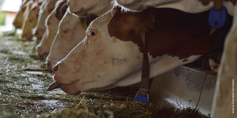
19th February 2025
New model maps animal farms to tackle environmental challenges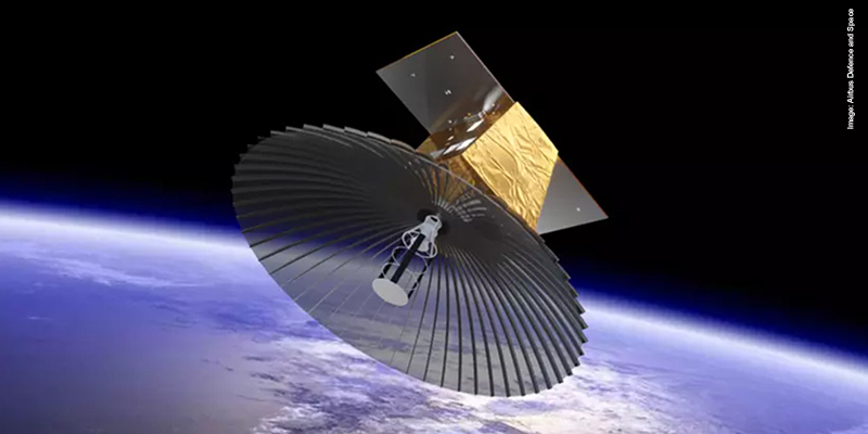
18th February 2025
New UK satellite deal to boost military operations, jobs and growth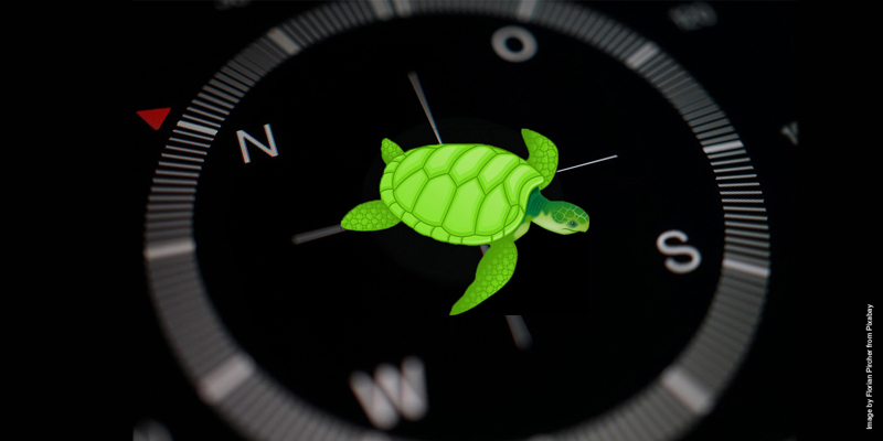
13th February 2025
Sea turtles' secret GPS: How loggerheads learn locations using Earth's magnetic field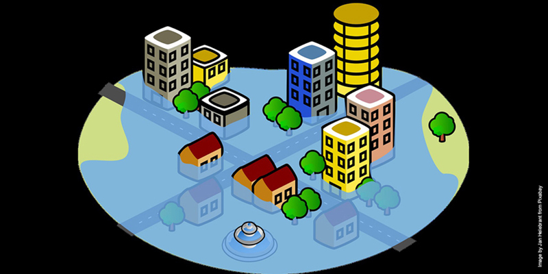
11th February 2025
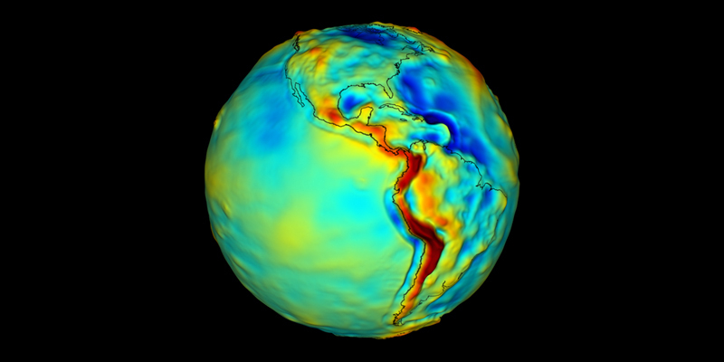
Novel application of AI provides the most accurate model of the Earth’s surface publicly available
7th February 2025
How telecommunications cables can image the ground beneath us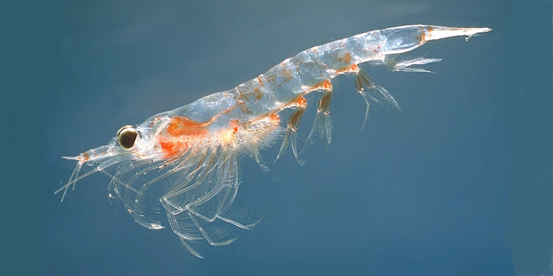
4th February 2025
Scientists aim to monitor climate’s tiny 'superheroes' from space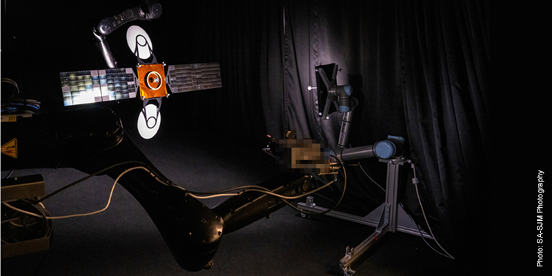
28th January 2025
Vision-based navigation system enables satellites to approach or avoid other objects in space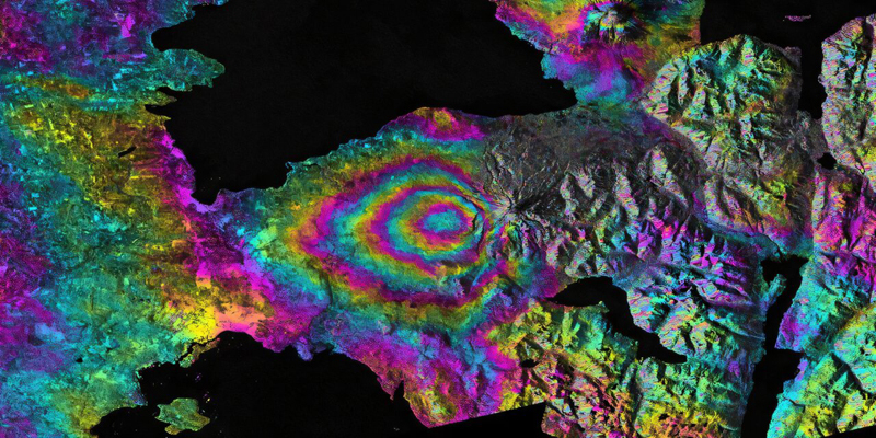
22nd January 2025
How the new NASA and India Earth Satellite NISAR will see Earth
10th January 2025
Users rush to update crucial navigation systems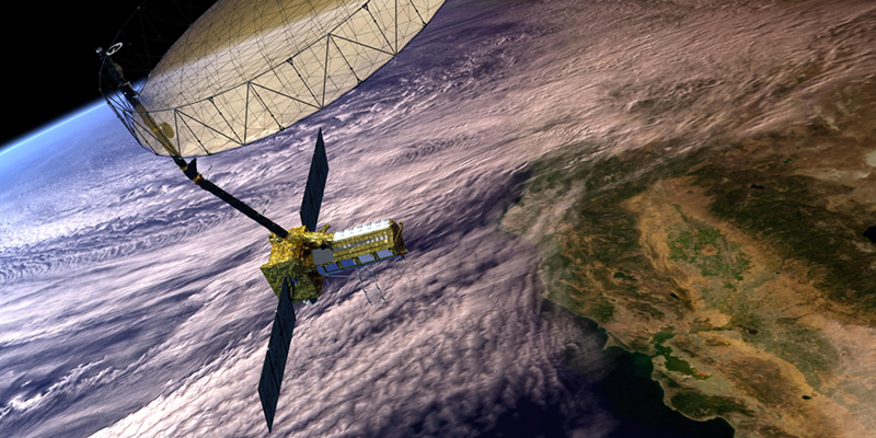
9th January 2025
How the US–Indian NISAR satellite will offer unique window on Earth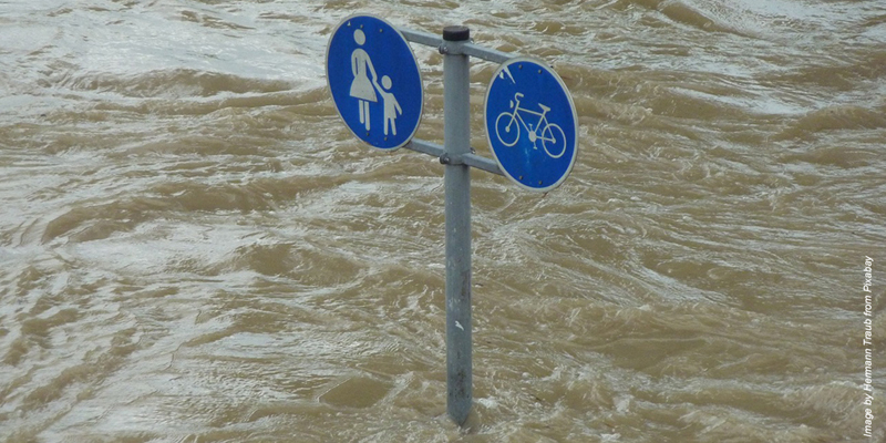
21st December 2024
Quantum technologies in space: towards a new era of Earth Observation