SimActive Used for Corridor Mapping Along Coasts
18th March 2025
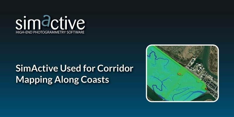
SimActive Used for Corridor Mapping Along CoastsSimActive is the developer of Correlator3D™ software, a patented end-to-end photogrammetry solution for the generation of high-quality geospatial data from satellite and aerial imagery, including drones.
Correlator3D™ performs aerial triangulation (AT) and produces dense digital surface models (DSM), digital terrain models (DTM), point clouds, orthomosaics, 3D models and vectorized 3D features. Powered by GPU technology and multi-core CPUs, Correlator3D™ ensures matchless processing speed to support rapid production of large datasets.
SimActive has been selling Correlator3D™ to leading mapping firms and government organizations around the world, offering cutting-edge photogrammetry software backed by exceptional customer support.
https://www.simactive.com
+1 514 288-2666
465 St-Jean, Suite 701 Montreal, Quebec H2Y 2R6 Canada
2003
Satellite Imaging
Image Processing / Analysis
DEM/DTM/DSM
Unmanned Aerial Vehicles
Photogrammetry
Engineering
Exploration & Production (Mining & Minerals)
Mining
Forestry
Agriculture
18th March 2025
SimActive Used for Corridor Mapping Along Coasts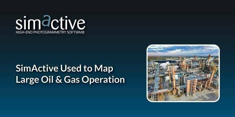
18th February 2025
SimActive Used to Map Large Oil & Gas Operation
14th February 2025
Do Larger Format Sensors Increase Mapping Productivity?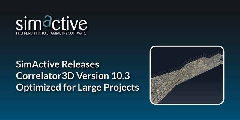
21st January 2025
SimActive Releases Correlator3D Version 10.3 Optimized for Large Projects
3rd December 2024
SimActive Software Integrated by Balko Tech in Modular Lidar Systems
22nd November 2024
Webinar Topic – What Are the Advantages of Lidar With Drones?
7th November 2024
Vegetation Assessment Along Waterbodies Completed with SimActive

9th October 2024
SimActive Used for Mapping Construction Projects
30th September 2024
Can RTK/PPK Really Remove the Need for GCPs?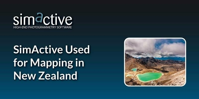
10th September 2024
SimActive Used for Mapping in New Zealand
29th August 2024
Workshop Topic – 4 Tips to Success When Mapping with Drones
13th August 2024
SimActive Releases Correlator3D Version 10.2 With Enhanced Editing Tools
30th July 2024
Spending Less Editing Time with Correlator3D Version 10.2
5th July 2024
Are Larger Format Cameras Better for Mapping?
5th June 2024
Fixed-Wing Drones: Are They Better Than Multi-Rotor?
3rd May 2024
Mapping Hilly Terrains With Drones: Is It Possible?
16th April 2024
SimActive Integrated with Multi-Camera Systems for Precision Photogrammetry
19th March 2024
SimActive Used to Control Accuracy Through Different Types of GCPs
14th March 2024
GCPs for Photogrammetry: How Many Do You Need?
20th February 2024
SimActive Used for 3D Mapping from Oblique Cameras
24th January 2024
SimActive Announces Enhanced Cloud Capabilities
19th January 2024
Live Workshop: Photogrammetry in the cloud: is it a good idea?
5th December 2023
Live Interview: Photogrammetry Trends for 2024
14th November 2023
ALDOT Uses SimActive Software to Support Tornado Recovery
6th November 2023
SimActive Webinar: How to Save Time and Money on Photogrammetry Projects
16th October 2023
SimActive Accelerates Point Cloud Generation with Version 10.1
11th September 2023
Microsoft Collaborates with SimActive on a Cloud Photogrammetry Solution
16th August 2023
SimActive Used with Phase One Cameras for Precise Photogrammetry
9th August 2023
Webinar Topic: Cameras on Drones and Aircraft: Is Bigger Always Better?
19th July 2023
SimActive Announces New Pricing for Larger Drone Cameras
10th July 2023
Webinar Topic: Mining Site Monitoring Using Drones

24th May 2023
SimActive Software Used for Meeting Accuracy Standards
15th May 2023
How To Meet Photogrammetric Accuracy Standards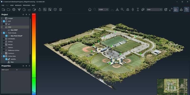
27th April 2023
SimActive Releases Correlator3D Version 10 with High Density Point Cloud Generation

22nd March 2023
SimActive Software Used to Accelerate Corridor Mapping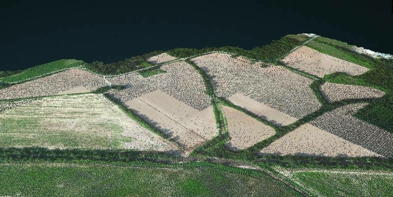
22nd February 2023
SimActive Software Used to Colorize Lidar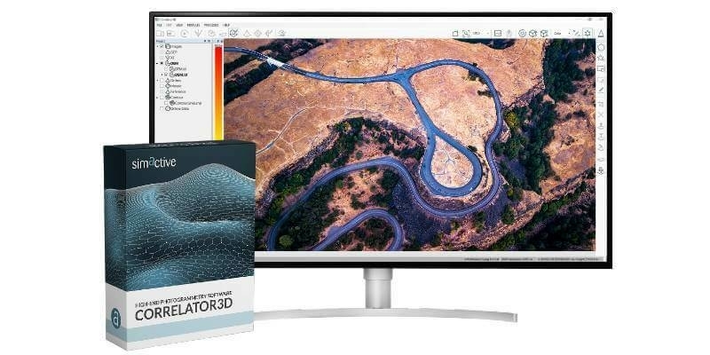
26th October 2022
Malaysian Government's JUPEM Selects SimActive's Correlator3D Software for Data Processing
26th September 2022
SimActive Software Used for Sensor Calibration and Validation
21st June 2022
SimActive Releases Version 9.2 with Phase One IIQ Integration28th April 2022
Medium Format Cameras Used with SimActive Software to Minimize Mapping Costs
30th March 2022
SimActive Releases Correlator3D Version 9.1 with Productivity Enhancements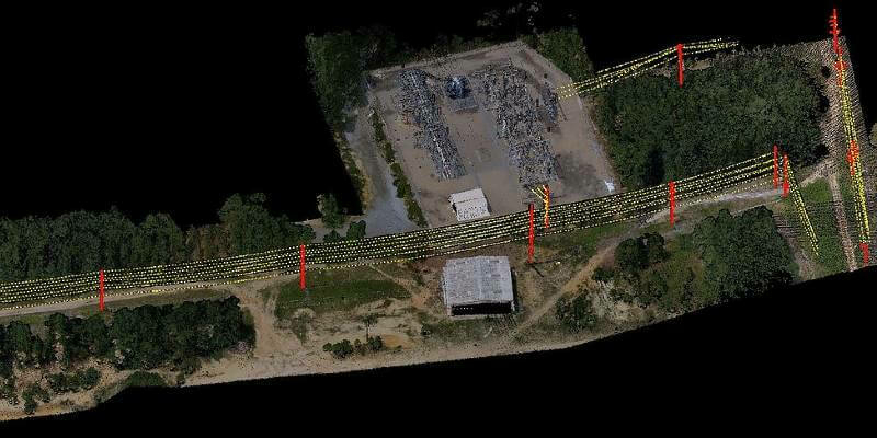
4th March 2022
SurvTech Using SimActive Software for Energy Infrastructure Projects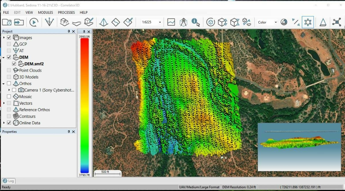
8th December 2021
Extreme Aerial Monitoring One of the Largest Construction Projects in the Desert Southwest with SimActive Software
11th November 2021
SimActive Software Used with Skydio Drones for Land Development Projects
15th October 2021
SimActive Releases Version 9.0 with Distributed Processing
28th August 2020
How to Generate a 3D Model with Correlator3D
27th July 2020
How to Generate a DSM and Point Cloud with Correlator3D
13th May 2020
Simactive - How to Perform Aerial Triangulation with Correlator3D