
RIEGL
RIEGL is an international leading provider of cutting-edge technology in airborne, mobile, terrestrial, bathymetric, industrial and UAV-based laser scanning for applications in surveying.
RIEGL has been producing LiDAR systems commercially for more than 40 years and focuses on pulsed time-of-flight laser radar technology in multiple wavelengths.
RIEGL’s core Smart-Waveform technologies provide pure digital LiDAR signal processing, unique methodologies for resolving range ambiguities, multiple targets per laser shots, optimum distribution of measurements, calibrated amplitudes and reflectance estimates, as well as the seamless integration and calibration of systems.
RIEGL’s Ultimate LiDARTM 3D scanners and systems offer a wide array of performance characteristics and serve as a platform for continuing Innovation in 3D for the LiDAR industry.
Web
http://www.riegl.com
Tel
+43 2982 4211
Address
3580 Horn, Austria
Established
1978
Social
Top five specialisms
Terrestrial Surveying
Laser Scanning
Unmanned Aerial Vehicles
Surveying Instrumentation
Mobile Mapping
Top five sectors
Archaeology & Heritage
Mining
Forestry
Disaster Management
Architecture, Engineering & Construction (AEC)

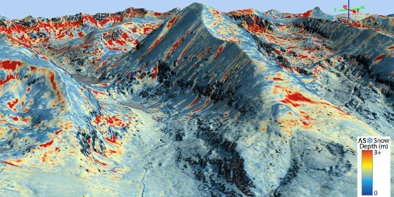
Airborne Snow Observatories takes delivery of the all-new cutting-edge RIEGL VQ-1560 II-S LiDAR System
18th June 2021
Airborne Snow Observatories takes delivery of the all-new cutting-edge RIEGL VQ-1560 II-S LiDAR System
RIEGL RiCAST: The Sky is Not the Limit with RIEGL’s VQ-840-G
14th June 2021
RIEGL RiCAST: The Sky is Not the Limit with RIEGL’s VQ-840-G
Riegl's Ultimate Lidar Webinar Series: June 2021
26th May 2021
Riegl's Ultimate Lidar Webinar Series: June 2021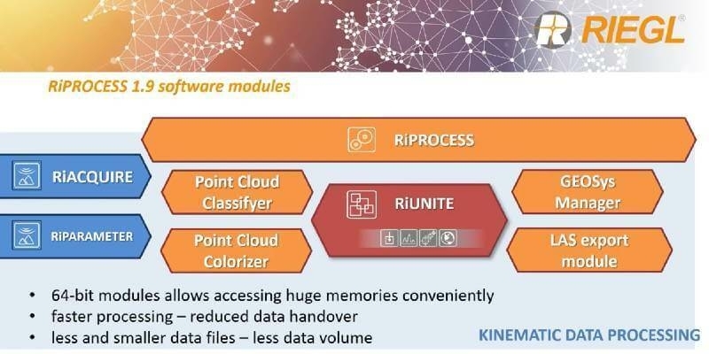
RIEGL’s RiPROCESS 1.9 with RiUNITE: A New Standard of Speed and Data Compression in Processing Kinematic Data
21st May 2021
RIEGL’s RiPROCESS 1.9 with RiUNITE: A New Standard of Speed and Data Compression in Processing Kinematic Data
RIEGL RiCAST: Miranda and RIEGL’s International Virtual Conference Day
14th May 2021
RIEGL RiCAST: Miranda and RIEGL’s International Virtual Conference Day
Riegl Ricast: One Point Cloud At A Time- Extracting Value From Points
7th May 2021
Riegl Ricast: One Point Cloud At A Time- Extracting Value From Points
Riegl Ricast: Scan And Deliver – The New Vux-120
26th April 2021
Riegl Ricast: Scan And Deliver – The New Vux-120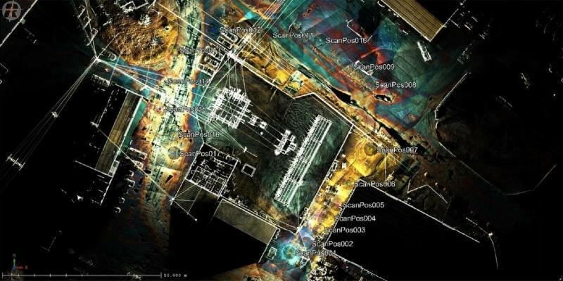
Recordings Are Now Available For The Riegl Ultimate Lidar March 2021 Webinars
12th April 2021
Recordings Are Now Available For The Riegl Ultimate Lidar March 2021 Webinars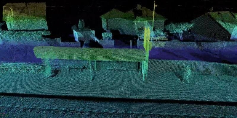
New Playlists for Spanish and Portuguese Videos on RIEGL Youtube
9th April 2021
New Playlists for Spanish and Portuguese Videos on RIEGL Youtube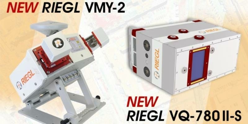
RIEGL Announces NEW Products in the ALS and MLS Sector
23rd March 2021
RIEGL Announces NEW Products in the ALS and MLS Sector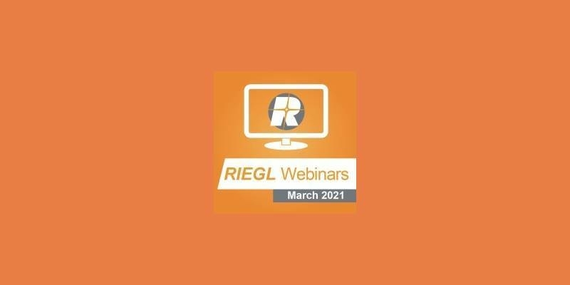
Riegl’s Ultimate Lidar Webinar Series: March 2021
18th March 2021
Riegl’s Ultimate Lidar Webinar Series: March 2021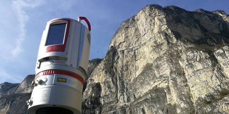
Riegl Ricast: Increasing Productivity With Riegl’s Vz-400i Ultimate Lidar Scanner
14th March 2021
Riegl Ricast: Increasing Productivity With Riegl’s Vz-400i Ultimate Lidar Scanner
Recordings are Now Available for the RIEGL Ultimate LiDAR February Webinar Series
4th March 2021
Recordings are Now Available for the RIEGL Ultimate LiDAR February Webinar Series
Riegl’s Ultimate Lidar Webinar Series: February 2021
9th February 2021
Riegl’s Ultimate Lidar Webinar Series: February 2021Recordings are Now Available for the RIEGL Ultimate LiDAR January Webinar Series
5th February 2021
Recordings are Now Available for the RIEGL Ultimate LiDAR January Webinar SeriesEasy-to-use, Intuitive Mining Apps for Autonomous Data Acquisition and Processing
24th January 2021
Easy-to-use, Intuitive Mining Apps for Autonomous Data Acquisition and ProcessingRiegl’s Ultimate Lidar Webinar Series And More: January 2021
11th January 2021
Riegl’s Ultimate Lidar Webinar Series And More: January 2021
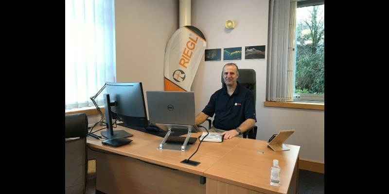
RIEGL announces expansion of their network of dedicated RIEGL offices: New RIEGL office in UK opened
11th December 2020
RIEGL announces expansion of their network of dedicated RIEGL offices: New RIEGL office in UK opened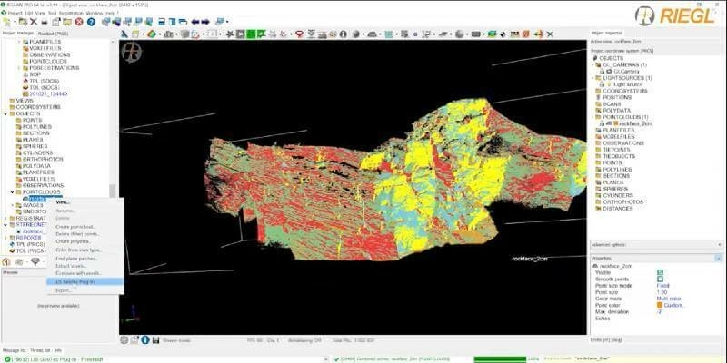
Surface Extraction and Analysis from RIEGL Laser Scan Data
10th December 2020
Surface Extraction and Analysis from RIEGL Laser Scan Data
RIEGL RiCAST- The New RIEGL VUX-120: Your Ultimate LiDAR System for Corridor Mapping and Utilities
8th December 2020
RIEGL RiCAST- The New RIEGL VUX-120: Your Ultimate LiDAR System for Corridor Mapping and Utilities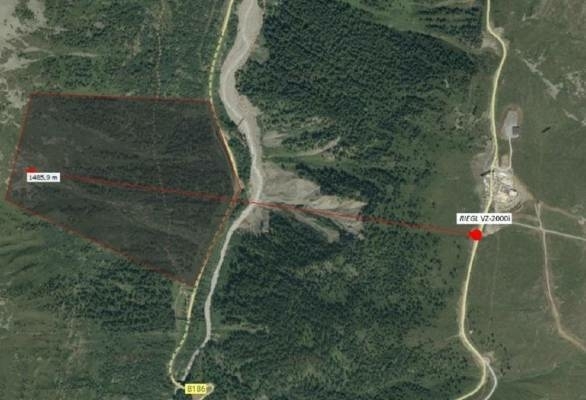
Technotes: Case Study- Geomonitoring With Riegl VZ-2000i
18th November 2020
Technotes: Case Study- Geomonitoring With Riegl VZ-2000i
RIEGL’s Ultimate LiDAR Webinar Series: November 2020
10th November 2020
RIEGL’s Ultimate LiDAR Webinar Series: November 2020
Recordings are Now Available for the RIEGL Ultimate LiDAR October Webinar Series
9th November 2020
Recordings are Now Available for the RIEGL Ultimate LiDAR October Webinar Series
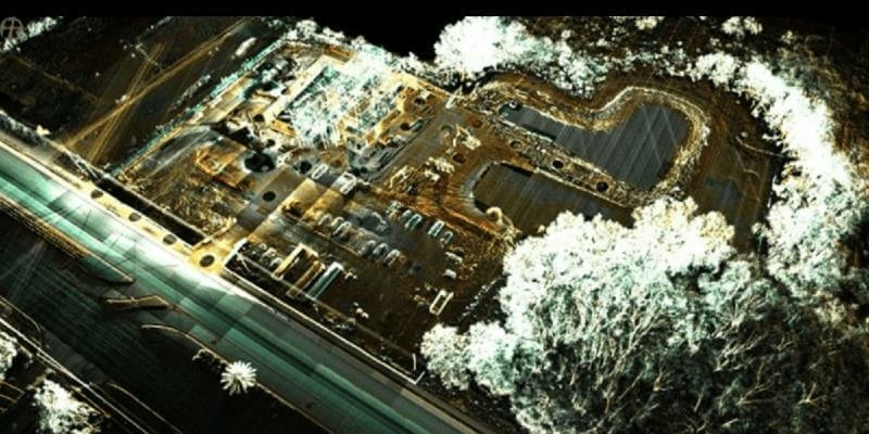
Road Pavement Analysis with the RIEGL VMX-2HA Mobile Mapping System
6th November 2020
Road Pavement Analysis with the RIEGL VMX-2HA Mobile Mapping System
GPI and RIEGL: From the Ground to the Skies
5th November 2020
GPI and RIEGL: From the Ground to the Skies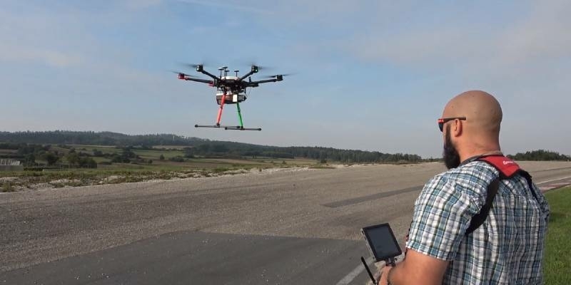
New RIEGL VUX-120 Video Available On Youtube
3rd November 2020
New RIEGL VUX-120 Video Available On Youtube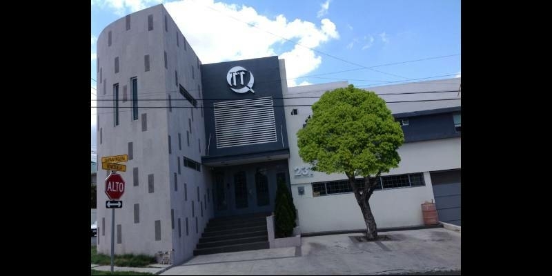
RIEGL’s Market Presence Expands Through Distribution Partnership in Mexico with TTQ de Monterrey
23rd October 2020
RIEGL’s Market Presence Expands Through Distribution Partnership in Mexico with TTQ de Monterrey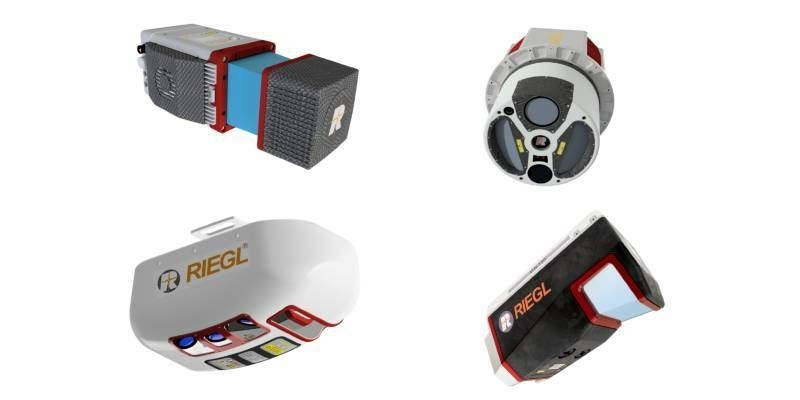
Recordings are Now Available for the RIEGL Ultimate LiDAR September Webinar Series
7th October 2020
Recordings are Now Available for the RIEGL Ultimate LiDAR September Webinar Series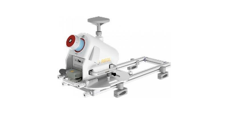
RIEGL RiCAST- “VMX: 10 Years of Success”: A Closer Look at Getting the Work Done with the VMQ-1HA
2nd October 2020
RIEGL RiCAST- “VMX: 10 Years of Success”: A Closer Look at Getting the Work Done with the VMQ-1HA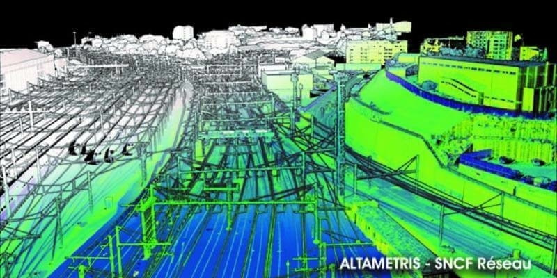

Intergeo 2020: We are Here! Wir Sind Dabei!
30th September 2020
Intergeo 2020: We are Here! Wir Sind Dabei!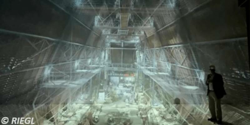
3D Surveying Of The St. Stephen’s Cathedral Vienna
25th September 2020
3D Surveying Of The St. Stephen’s Cathedral Vienna
RiCAST: Artificial Intelligence: A Geospatial Revolution
18th September 2020
RiCAST: Artificial Intelligence: A Geospatial Revolution
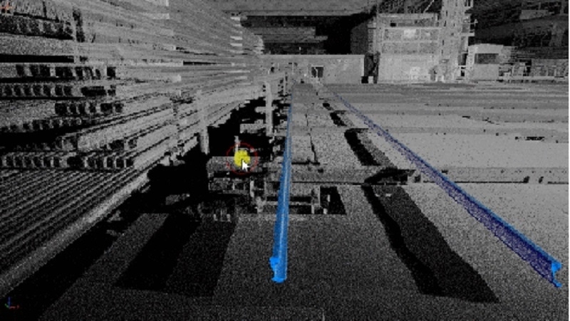
Rail Straightness Inspection after 3D Scan Demonstration
4th September 2020
Rail Straightness Inspection after 3D Scan Demonstration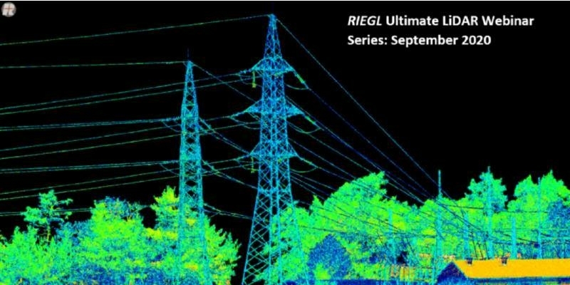
RIEGL’s Ultimate LiDAR Webinar Series and More: September 2020
1st September 2020
RIEGL’s Ultimate LiDAR Webinar Series and More: September 2020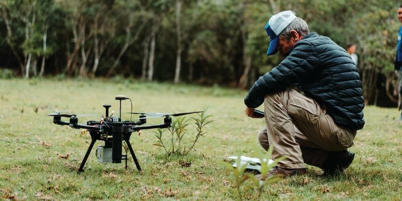
UAV Partner Spotlight: Shining the Light into the OEM Partnership with LiDARUSA
31st August 2020
UAV Partner Spotlight: Shining the Light into the OEM Partnership with LiDARUSA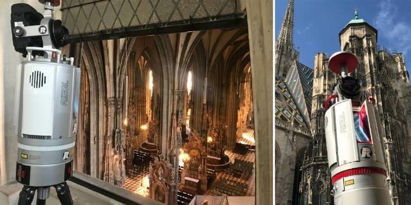
Ars Electronica Festival 2020: Take a Virtual Interactive Tour of Vienna's St. Stephen's Cathedral with RIEGL 3D Data
27th August 2020
Ars Electronica Festival 2020: Take a Virtual Interactive Tour of Vienna's St. Stephen's Cathedral with RIEGL 3D Data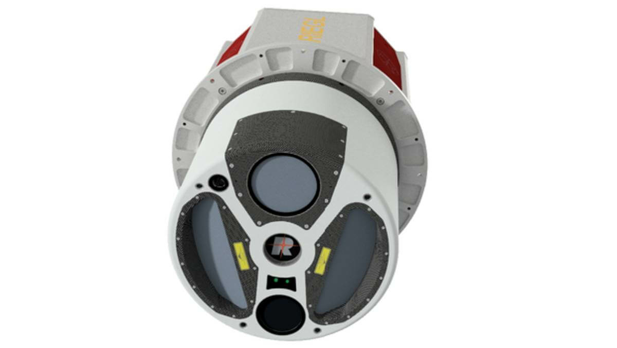
Features And Benefits Of Riegl’s Vq-1560 II Wide Area Mapping Sensor
23rd August 2020
Features And Benefits Of Riegl’s Vq-1560 II Wide Area Mapping SensorRIEGL’s Market Presence Grows in Latin America Through Continex Distribution Partnership in Panama
20th August 2020
RIEGL’s Market Presence Grows in Latin America Through Continex Distribution Partnership in PanamaIceland Space Agency: Mirroring The Environment On The Moon And Mars
13th August 2020
Iceland Space Agency: Mirroring The Environment On The Moon And MarsTan Talk: Riegl’s Long Lasting Line Of Terrestrial Laser Scanners
12th August 2020
Tan Talk: Riegl’s Long Lasting Line Of Terrestrial Laser Scanners
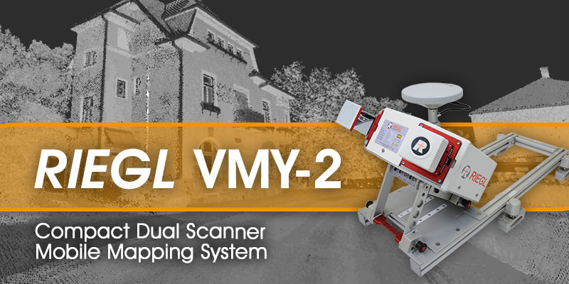
RIEGL - VMY-2 Dual Scanner Mobile Mapping System
5th November 2021
RIEGL - VMY-2 Dual Scanner Mobile Mapping System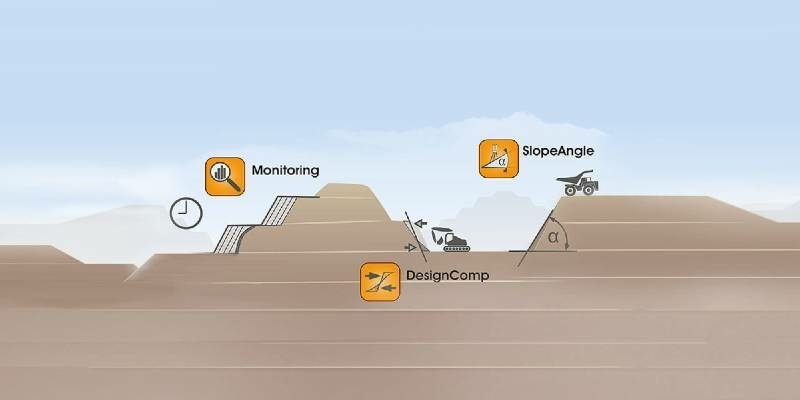
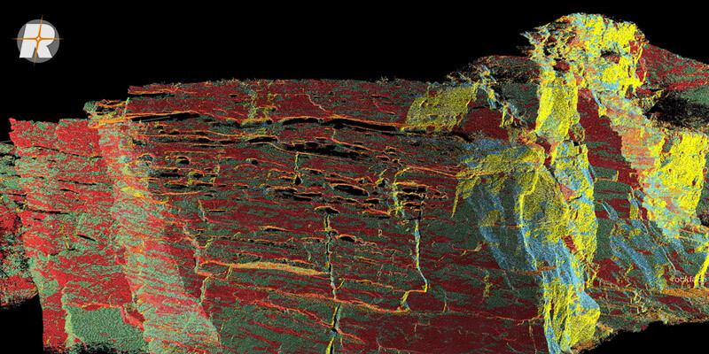
Surface Extraction and Analysis from RIEGL Laser Scan Data
2nd December 2020
Surface Extraction and Analysis from RIEGL Laser Scan Data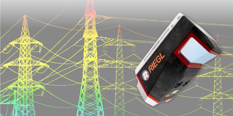
RIEGL VUX-120 UAV LiDAR Sensor for Corridor Mapping
29th October 2020
RIEGL VUX-120 UAV LiDAR Sensor for Corridor Mapping