European Space Imaging

European Space Imaging is the leading supplier of global Very High Resolution (VHR) satellite imagery & derived EO services to customers in Europe and North Africa.

A partner of Maxar Technologies, they were the first European company to bring 30 cm resolution satellite imagery to the EU market. Through their ground-station located at the German Aerospace Centre, they access the WorldView constellation for direct satellite tasking & local data downlink, delivering imagery in near-real time.

European Space Imaging has access to satellites at resolutions 30 cm – 1 m & a combined daily revisit of close to 10 times a day in panchromatic, multispectral, hyperspectral & video. They continue to engage in innovative partnerships to deliver the latest EO technological advances including a range of 3D products, analytic tools and imagery solutions.

Web

https://www.euspaceimaging.com/

Tel

+49 089 120 142 0

Address

Arnulfst. 199, 80634 Munich Germany

Established

2002

Social

Top five specialisms

Data Capture

Satellite Imaging

Image Processing / Analysis

DEM/DTM/DSM

Photogrammetry

Top five sectors

Emergency Services

Education & Research

Defence Military

Agriculture

Municipal Government

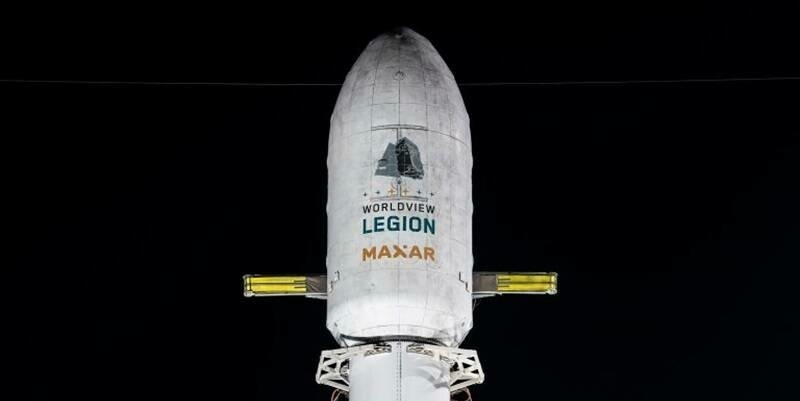
World View Legion Launch 2 Rocket on Pad 3 web optimized 800x400

EUSI Will Soon Offer Intraday Monitoring Across Europe After Maxar’s Second Successful Launch of WorldView Legion Satellites
17th August 2024

EUSI Will Soon Offer Intraday Monitoring Across Europe After Maxar’s Second Successful Launch of WorldView Legion Satellites
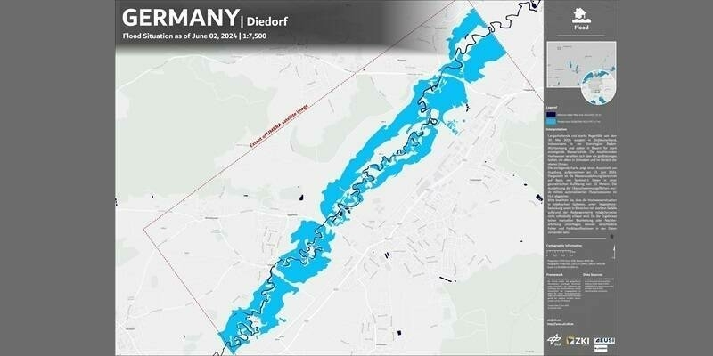
Germany diedorf 800x400

EUSI Delivers Time-critical SAR Imagery to German Aerospace Center for Rapid Mapping of Southern Germany Floods
10th June 2024

EUSI Delivers Time-critical SAR Imagery to German Aerospace Center for Rapid Mapping of Southern Germany Floods
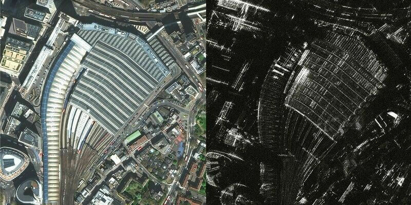
Eusi img 800x400

EUSI Partners with Umbra to Offer SAR Imagery to European Remote Sensing Projects

6th September 2023

EUSI Partners with Umbra to Offer SAR Imagery to European Remote Sensing Projects
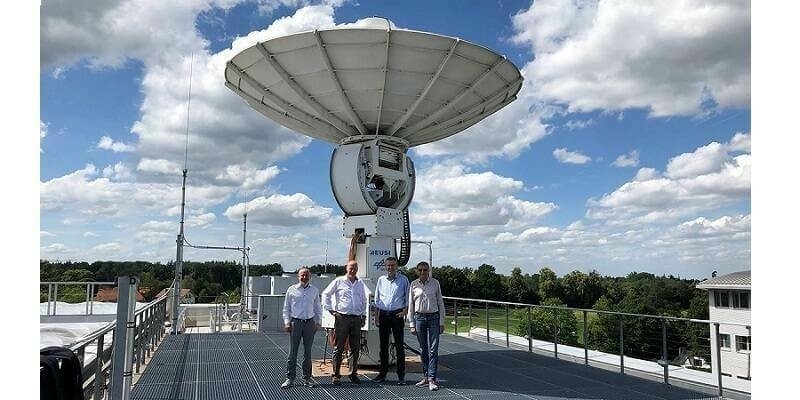
Eaasi july 800x400

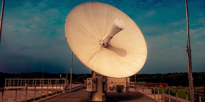
EUSI Invests in Ground Station Upgrade at the German Aerospace Center (DLR) for the Fastest VHR Satellite Imagery Delivery in Europe
7th July 2023

EUSI Invests in Ground Station Upgrade at the German Aerospace Center (DLR) for the Fastest VHR Satellite Imagery Delivery in Europe
Unnamed 31 1

European Space Imaging Renews Contract With Maxar Technologies
8th February 2022

European Space Imaging Renews Contract With Maxar Technologies
Eu space imaging 1 1

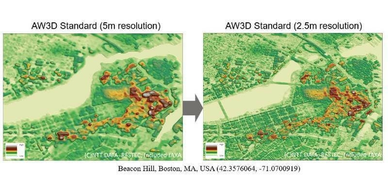
Expanding Product Offering: AW3D

23rd November 2021

Expanding Product Offering: AW3D
Earsc 800X400 1

EARSC Board of Directors Nomination

28th May 2020

EARSC Board of Directors Nomination
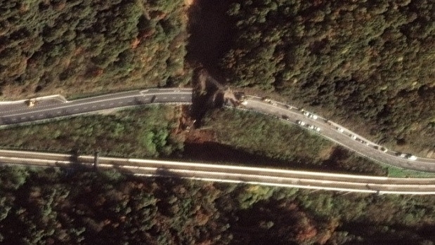
Satellite Images of Bridge Collapse on A6 Torino Highway (from import)
Satellite Images of Bridge Collapse on A6 Torino Highway

2nd December 2019

Satellite Images of Bridge Collapse on A6 Torino Highway
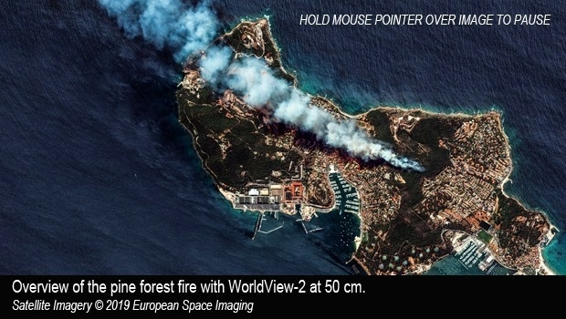
Satellite imagery of pine forest fire in the Var, Southern France (from import)
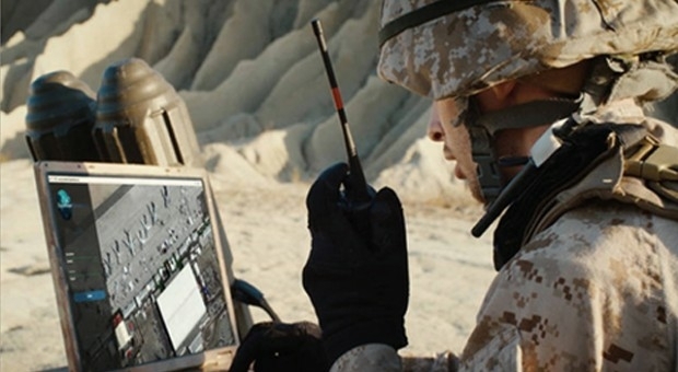
Satellite imagery of pine forest fire in the Var, Southern France

30th July 2019

Satellite imagery of pine forest fire in the Var, Southern France
European Space Imaging to sell Maxar SecureWatch and EarthWatch products (from import)
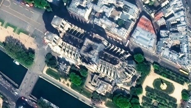
European Space Imaging to sell Maxar SecureWatch and EarthWatch products

27th June 2019

European Space Imaging to sell Maxar SecureWatch and EarthWatch products
PARIS: Satellite Images of Notre Dame Cathedral (from import)
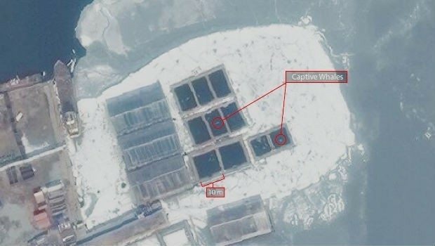
PARIS: Satellite Images of Notre Dame Cathedral

18th April 2019

PARIS: Satellite Images of Notre Dame Cathedral
Russia: Satellite Imagery shows whales held captive in Srednyaya Bay (from import)
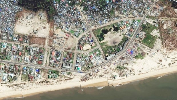
Russia: Satellite Imagery shows whales held captive in Srednyaya Bay

5th April 2019

Russia: Satellite Imagery shows whales held captive in Srednyaya Bay
BEIRA: Satellite Images highlight damage from Cyclone Idai (from import)
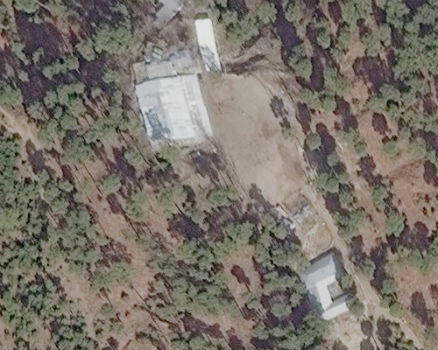
BEIRA: Satellite Images highlight damage from Cyclone Idai

29th March 2019

BEIRA: Satellite Images highlight damage from Cyclone Idai
Satellite Imagery confirms India missed target in Pakistan airstrike (from import)
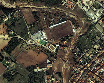
Satellite Imagery confirms India missed target in Pakistan airstrike

6th March 2019

Satellite Imagery confirms India missed target in Pakistan airstrike
MALLORCA: Small Island hit by Flash Flooding (from import)
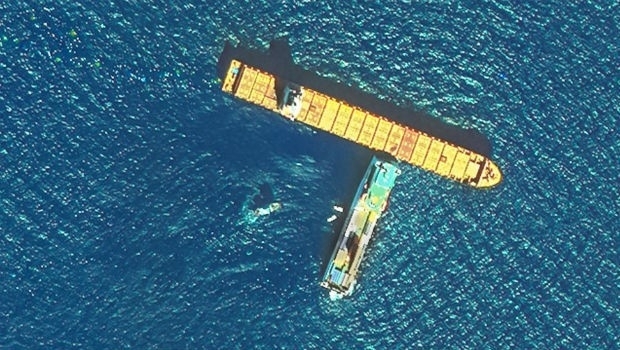
MALLORCA: Small Island hit by Flash Flooding

11th October 2018

MALLORCA: Small Island hit by Flash Flooding
CORSICA: Satellite Images Highlight Major Oil Spill (from import)
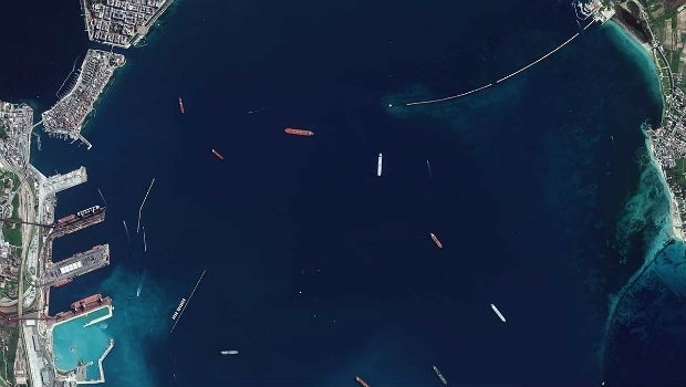
CORSICA: Satellite Images Highlight Major Oil Spill

9th October 2018

CORSICA: Satellite Images Highlight Major Oil Spill
European Space Imaging Awarded €20 Million Maritime Contract (from import)
European Space Imaging Awarded €20 Million Maritime Contract

24th September 2018

European Space Imaging Awarded €20 Million Maritime Contract
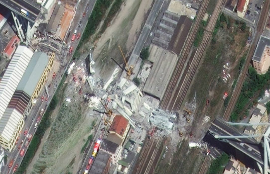
GENOA, ITALY: Satellite Images of Morandi Bridge Collapse (from import)
GENOA, ITALY: Satellite Images of Morandi Bridge Collapse

16th August 2018

GENOA, ITALY: Satellite Images of Morandi Bridge Collapse
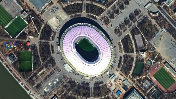
FIFA World Cup 2018 Stadiums As Seen From Space (from import)
FIFA World Cup 2018 Stadiums As Seen From Space

15th June 2018

FIFA World Cup 2018 Stadiums As Seen From Space
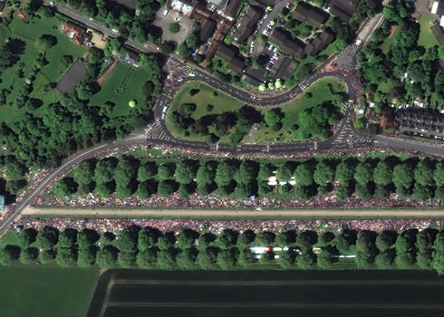
Satellite Image Shows Massive Royal Wedding Crowds (from import)
Satellite Image Shows Massive Royal Wedding Crowds

22nd May 2018

Satellite Image Shows Massive Royal Wedding Crowds
Copernicus Data Warehouse Offers 40 cm Imagery (from import)
Copernicus Data Warehouse Offers 40 cm Imagery

30th March 2018

Copernicus Data Warehouse Offers 40 cm Imagery
Satellite images unveil Chinese military fortresses in Spratly Islands (from import)
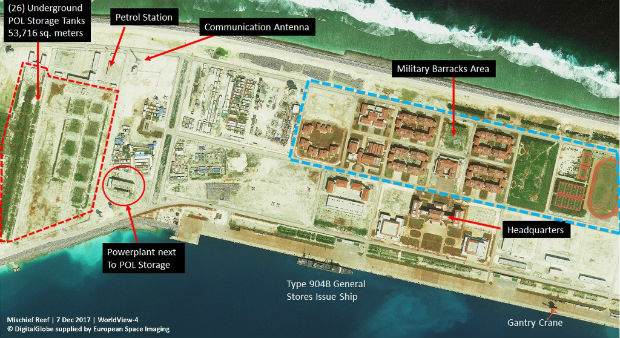
Satellite images unveil Chinese military fortresses in Spratly Islands

9th February 2018

Satellite images unveil Chinese military fortresses in Spratly Islands
Satellite Images of Afrin Identifies Massive Damage to Ancient Temple (from import)
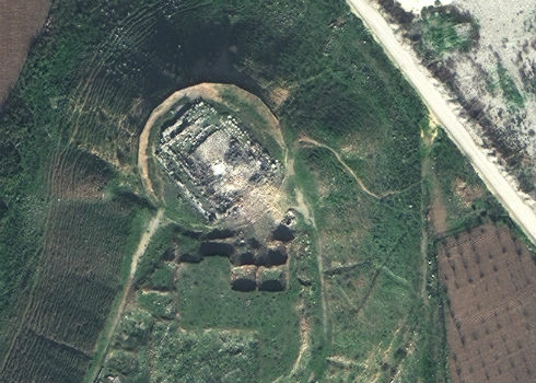
Satellite Images of Afrin Identifies Massive Damage to Ancient Temple

5th February 2018

Satellite Images of Afrin Identifies Massive Damage to Ancient Temple
Dr Wolfgang Steinborn Awarded DDGI’s Golden Badge of Honor (from import)
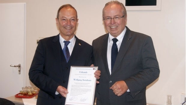
Dr Wolfgang Steinborn Awarded DDGI’s Golden Badge of Honor

30th November 2017

Dr Wolfgang Steinborn Awarded DDGI’s Golden Badge of Honor
Satellite Images of West Attica Flood Help Government Response (from import)
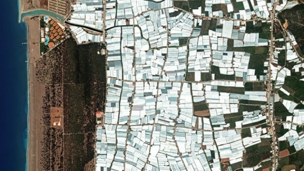
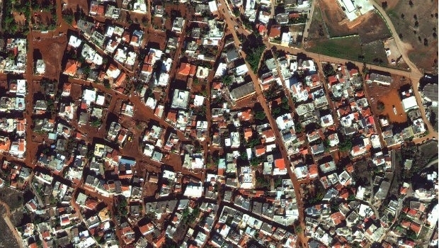
Satellite Images of West Attica Flood Help Government Response

28th November 2017

Satellite Images of West Attica Flood Help Government Response
Satellite Images of Turkey Show Whirlwind Damage (from import)

Satellite Images of Turkey Show Whirlwind Damage

21st November 2017

Satellite Images of Turkey Show Whirlwind Damage
European Space Imaging celebrates 15 years of success (from import)

European Space Imaging celebrates 15 years of success

13th November 2017

European Space Imaging celebrates 15 years of success
WorldView Global Alliance User Conference 2017 Report (from import)
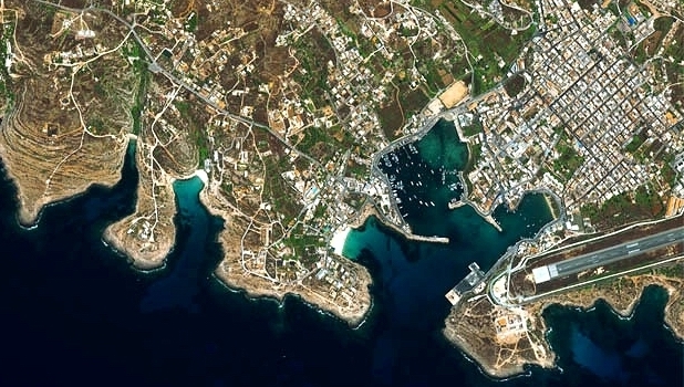
WorldView Global Alliance User Conference 2017 Report

28th October 2017

WorldView Global Alliance User Conference 2017 Report
Satellite Images show Europe's diversity in new book (from import)
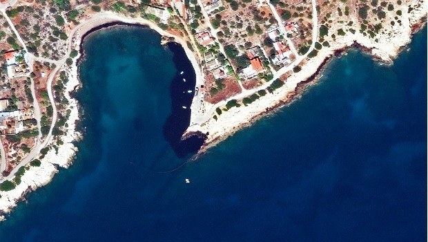
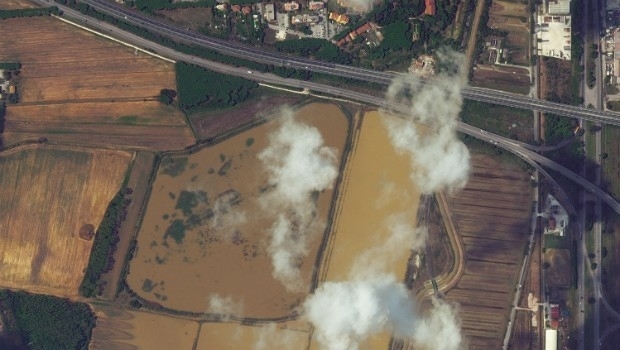
Satellite Images show Europe's diversity in new book

3rd October 2017

Satellite Images show Europe's diversity in new book
Greece: Satellite Images Show Oil Spill (from import)

Greece: Satellite Images Show Oil Spill

20th September 2017

Greece: Satellite Images Show Oil Spill
Italy: Satellite Images of Flooding in Livorno (from import)
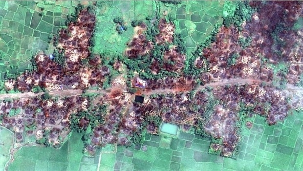
Italy: Satellite Images of Flooding in Livorno

15th September 2017

Italy: Satellite Images of Flooding in Livorno
Myanmar: Satellite Images Show Massive Fire Destruction (from import)
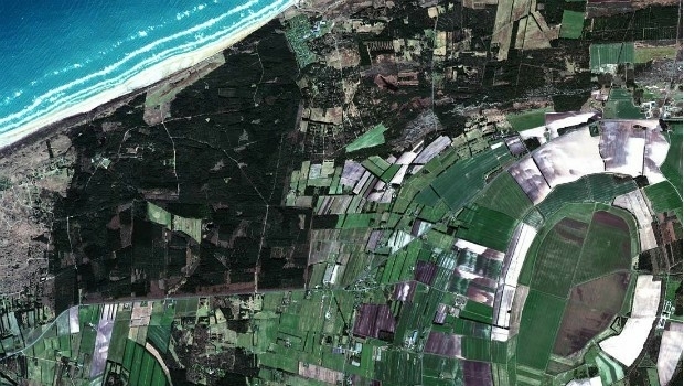
Myanmar: Satellite Images Show Massive Fire Destruction

7th September 2017

Myanmar: Satellite Images Show Massive Fire Destruction
100% success rate in European Commission’s 2017 CwRS Program (from import)
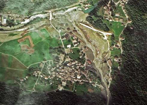
100% success rate in European Commission’s 2017 CwRS Program

5th September 2017

100% success rate in European Commission’s 2017 CwRS Program
Seen From Space: Landslide in the Swiss Alps (from import)
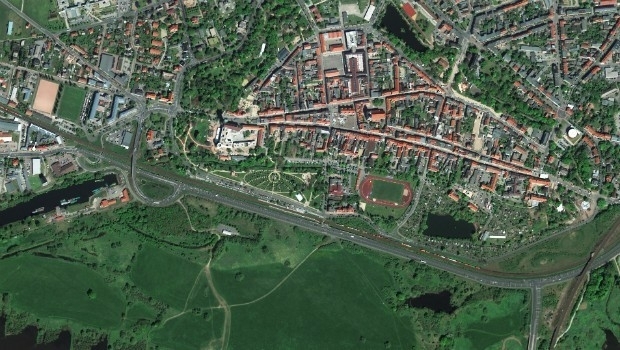
Seen From Space: Landslide in the Swiss Alps

28th August 2017

Seen From Space: Landslide in the Swiss Alps
WorldView-4 satellite imagery in 30cm resolution (from import)
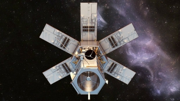
WorldView-4 satellite imagery in 30cm resolution

31st May 2017

WorldView-4 satellite imagery in 30cm resolution
Distribution of WorldView-4 satellite imagery in Europe begins (from import)
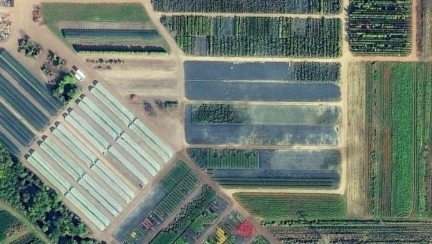
Distribution of WorldView-4 satellite imagery in Europe begins

18th April 2017

Distribution of WorldView-4 satellite imagery in Europe begins
European Space Imaging main provider of VHR satellite imagery to EC (from import)

European Space Imaging main provider of VHR satellite imagery to EC

22nd February 2017

European Space Imaging main provider of VHR satellite imagery to EC

Successful Controls with Remote Sensing Campaign

16th November 2016

Successful Controls with Remote Sensing Campaign

MARSAT –Satellite Services for the Maritime Industry

16th September 2016

MARSAT –Satellite Services for the Maritime Industry

European Space Imaging & Planetek Italia support earthquake emergency

26th August 2016

European Space Imaging & Planetek Italia support earthquake emergency

European Space Imaging earthquake images of Amatrice, Italy

25th August 2016

European Space Imaging earthquake images of Amatrice, Italy

European Space Imaging announces new partnership with Vricon
12th August 2016

European Space Imaging announces new partnership with Vricon
Shelter from the summer sun under legal umbrellas (from import)

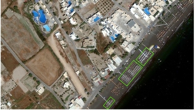
Shelter from the summer sun under legal umbrellas

12th July 2016

Shelter from the summer sun under legal umbrellas

There are no videos for this company.