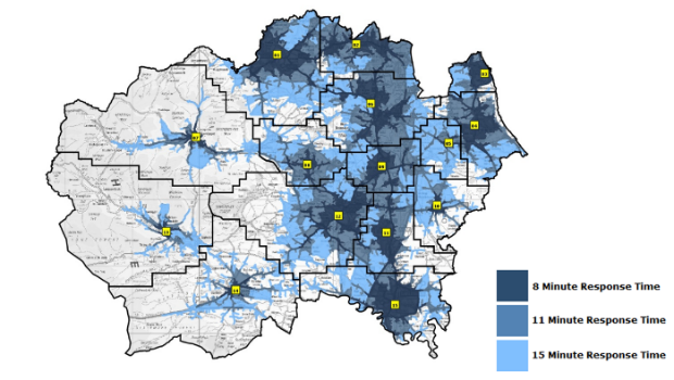
Cadcorp’s fire service resource planning tool is now even more realistic
20th June 2016
Cadcorp’s fire service resource planning tool is now even more realistic
About Cadcorp
Spatial insight
Cadcorp helps organisations derive meaningful and actionable intelligence from data. We do this with an extensive range of GIS software, spatial data and consultancy services designed to better inform decision-making. With our technical knowledge and expertise, we know how to support our customers in realising the benefits of location information.
https://www.geoconnexion.com/companies/cadcorp
+44 (0)1438 747996
Sterling Court, Norton Road, Stevenage, Hertfordshire, SG1 2JY, UK
1995
Crime Mapping
GIS
Cloud Computing
Interoperability & Open Standards
Location Intelligence
Emergency Services
Property
Central Government
Insurance
Crime Modelling

20th June 2016
Cadcorp’s fire service resource planning tool is now even more realistic
7th June 2016
Tyne and Wear Fire and Rescue Service selects web mapping from Cadcorp
26th May 2016
Sudbury takes the lead in sharing geographic information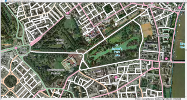
24th May 2016
Cadcorp provides support for latest OS OpenData™ products and OS MasterMap® styling.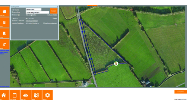
26th April 2016
KOREC partners with Cadcorp to integrate field data capture